

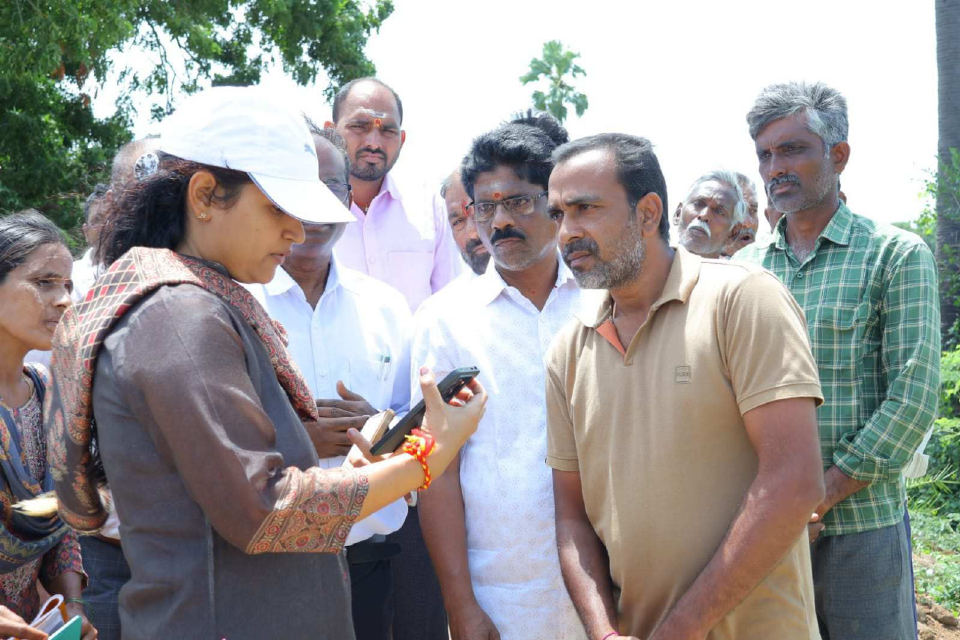
Officials have taken steps to conduct an armored survey to correct the errors in the agricultural land records and finalize the land boundaries. It has been decided to register all aspects from crop details to land ownership information.
Officials hope that by registering the land details in the digital system, future disputes will be reduced. Farmers are advised to check their land details, boundaries and records and apply for amendments if necessary. After completion of the survey, clear land records will be available, he said.